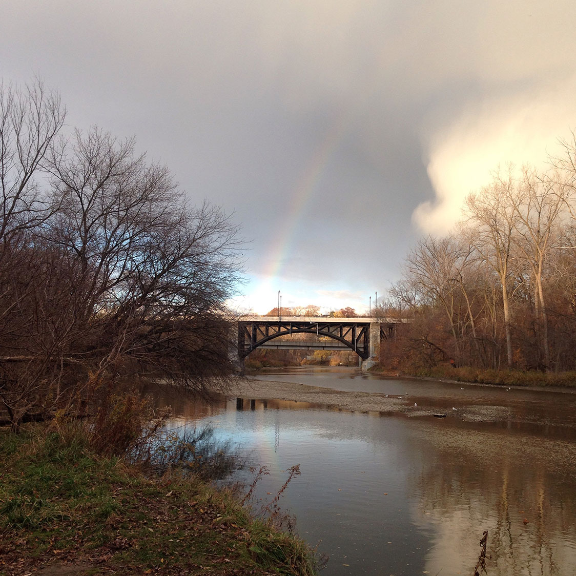
Before Davenport (2015)
Davenport Road meanders close to its original site as an ancient path in contrast to a city that is laid out in a grid. What can the history of this path tell us about where we have been and where we must go? What can we learn from the journey? By focusing on adopting a method of colonial measurement I will make an attempt to inscribe the “Gete-Onigaming” route by re-enacting colonial surveying and create a moving monument to its original use. However, re-enacting is not enough. Could one de-scribe the route by traveling it backwards both metaphorically and physically? If the Humber is the beginning of the Carrying Place routes, measurement will begin at the Don and follow its route backwards across the 14 kilometres through the city to the Humber. One could never erase our shared colonial history however the act of de-tracing the route with colonial surveying tools works towards making the act of taking land visible so that an open and honest dialogue can take place. On November 1st, using a chain constructed to resemble a surveyors chain of the period an attempt will be made.
For more visit project website here.
